Visualization
Quicklooks of some CERSAT gridded products can browsed through your web navigator from this page.
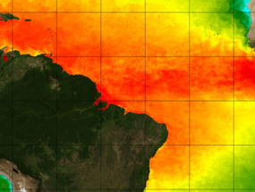
Sea surface temperature
- ODYSSEA Global Multi-Sensor Analysis (L4) 10km daily (for the Copernicus Marine Service)
- ODYSSEA Regional High-Resolution Multi-Sensor Analysis (L4) 2km daily
- Brazil (for Medspiration project)
- Mediterranean Sea (for Medspiration project)
- Europe North Western Shelves (for the Copernicus Marine Service)
- South-Africa (for Medspiration project)
Wind
- Satellite/Weather Model Blended Wind, daily, 0.25° (for MyOcean project)
Ocean colour
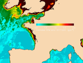
- Maps of chlorophyll-a and suspended matters over western europe
- Maps of chlorophyll-a and flora over French coasts
Sea ice
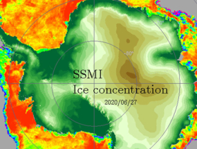
- SSM/I concentration maps, 12.5 km, daily, Arctic and Antarctic
- QuikSCAT maps, inner and outer beams, 12.5 km, daily
- backscatter Arctic and Antarctic
- backscatter with water mask Arctic and Antarctic
- standard deviation Arctic and Antarctic
- number of data - warning code Arctic and Antarctic
- ASCAT maps, 12.5 km, daily
- backscatter at 40° incidence angle Arctic and Antarctic
- standard deviation Arctic and Antarctic
- number of data - warning code Arctic and Antarctic
Rugosité
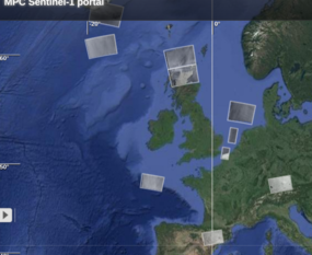
- Sentinel-1 syntool portal
- Sentinel-1 google-earth files
Monthly files are available here for of the L0 and L1 sub products collected at Ifremer.
Note: WV_SLC ones contain roughness, cross-spectra and colocalized WW3 cross-spectra plots of each imaget.


