


Monitoring sea ice with scatterometers
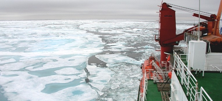
Sea ice extent over polar oceans is a major critical parameter for understanding and forecasting oceanic circulation and earth climate changes. Daily monitoring of sea ice enables to show the Arctic 2012 sea ice extent loss record through satellites measurements which provide the only set of measurements with global coverage. Sea ice is difficult to observe using satellite optical sensors because of the low level of illumination in polar regions and because of frequent cloud cover. Microwave instruments and in particular satellite-borne radars, such as scatterometers, are of major interest, first because of their large temporal and spatial coverage and second because of their all-weather measurement capability.
The laboratory has developed an expertise in the use of scatterometers sensor over sea ice, and has built a unique continuous backscatter data archive since 1991 from C and Ku-band sensors. Backscatter data can be used for sea ice type detection. It has been also shown that the combination of these data with passive satellite-borne sensors measurements is very useful for sea ice displacement estimation. A unique 1992-present Arctic sea ice drift dataset (lien vers la news Drift) has been created. These parameters and also sea ice concentration for both poles are inferred daily, archived and distributed by the CERSAT, freely available for the scientific and operational communities.
The sea ice team is involved in projects funded by E.U. and European and french space agencies (CONVECTION, DAMOCLES, GlobIce, CCI, Monarch-A, etc...).


